Milwaukee General Mitchell International Airport (MKE)
Orientation and Maps
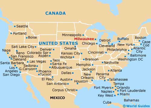
(Milwaukee, Wisconsin (WI), USA)
The charming city of Milwaukee is located next to the enormous Lake Michigan and lies to the north of Chicago. Milwaukee dates back to the mid 19th-century, when its German descendants first arrived and settled in the area. Today, the city of Milwaukee is known for its German-style buildings and architecture, with notable buildings including the City Hall and also the Pabst Theater, amongst others.
On the southern side of downtown Milwaukee, the General Mitchell Airport (MKE) is situated along South Howell Avenue and is connected to the city center by public bus No. 80. Alternatively, the Airport Connection van also links the downtown district.
Milwaukee General Mitchell Airport (MKE) Maps: Important City Districts
The Greyhound bus terminal can be found along North James Lovell Street and features many regular buses to prominent cities, such as Chicago and Minneapolis. On the other side of the street, the Badger Bus station connects Madison, Wisconsin's second-biggest city, which can be reached in less than two hours. Milwaukee's Amtrak train station stands on West St. Paul Avenue and features a number of popular daily trains.
The eastern side of the city is dominated by Lake Michigan, being edged by scenic parkland. Downtown Milwaukee is known for its Riverwalk, which features a series of interconnecting pathways on either side of the Milwaukee River. A prominent artery in this area is the Wisconsin Avenue, dividing the streets and heading east to west. The city's visitors center is located on the West Wisconsin Avenue, inside the Midwest Airlines Center, and is a good place to find out what's going on in the area.
USA Map
Wisconsin Map

Milwaukee Map

